


Egypt Launches Digital System to Govern and Document Nile Riverfront Properties
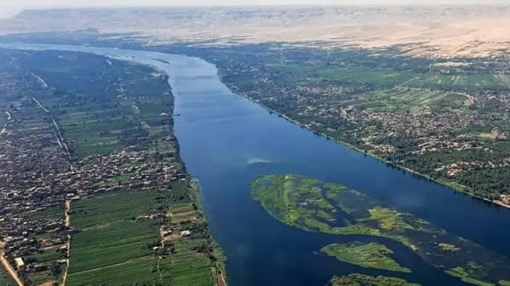
Dr. Hani Sewilam, Minister of Water Resources and Irrigation, chaired a meeting to review the newly developed "Digital System for Documenting Public Properties and Riverfront Lands Related to the Nile River." The initiative aims to establish a comprehensive, highly accurate database to enhance the governance, management, and utilization of these lands while actively supporting real-time monitoring and executive decision-making.
First Phase Rollout and Data Integration
During the meeting, officials reviewed the system's implementation progress, noting that the documentation of public and riverfront properties in the Dakahlia Governorate has been successfully mapped out as the project's first phase.
The newly established database generates a comprehensive "data document" for each specific plot of land. This digital record securely integrates critical information to enhance land governance, including:
Detailed profiles of the land beneficiaries.
Exact plot area measurements.
Calculated usufruct (right of use) fees and current payment tracking.
High-resolution satellite imagery and detailed topographic maps for each individual plot.
Egyptian Water System 2.0 and Enhanced Governance
Dr. Sewilam emphasized that this digital platform represents a major leap toward embedding strict governance principles within the Ministry's operations, falling directly under the umbrella of the Second Generation of the Egyptian Water System 2.0. The system is designed to provide officials with rapid, accurate data, streamline administrative procedures, and enable instant tracking by Ministry decision-makers.
Through this digital infrastructure, the Ministry will tighten its oversight over public properties, allowing it to instantly identify illegal encroachments and rigorously track the collection of usufruct dues. Furthermore, the system actively monitors whether individuals and investors are complying with the Ministry's strict regulations when executing any projects on these lands. It will also serve as an analytical tool to evaluate the operational performance of relevant departments based on their fee collection rates.
Future Expansion and Mobile App Development
Looking ahead, the Minister directed the Nile River Protection and Development Sector to systematically integrate data from all remaining governorates with Nile frontages into the digital platform. This nationwide expansion will include incorporating satellite imagery and topographic maps currently being prepared under the "National Project for Regulating the Nile River."
Additionally, Dr. Sewilam issued directives to further develop the platform so that, upon completion, it can be transformed into a dynamic mobile application. This will empower Ministry engineers to access and update the system flexibly and efficiently while conducting on-site field inspections.